A FEMA flood map describes mapped flood risk for planning and flood-insurance purposes. A National Weather Service flood warning describes an event that is occurring or expected in an identified area. Use current warnings and local instructions for immediate action, even if your home is outside a mapped high-risk flood area. Keep the flood map for the separate question of your property’s mapped risk.
If water is rising or officials tell you to evacuate, act on those instructions. Do not wait for a flood-zone map to change, and do not walk or drive through floodwater. NWS flood-safety guidance explains these immediate precautions. This article explains the information sources; it does not report a current warning or observed damage at your home.
Use the live weather alert finder to look up NWS messages and the state emergency guide to reach official local resources. A city lookup on our finder uses a representative point, so also check Weather.gov and local officials for your location.
FEMA flood map vs. flood warning
Start by asking which decision you need to make. The map’s publisher, product name, date and legend matter more than whether a screenshot contains blue shading.
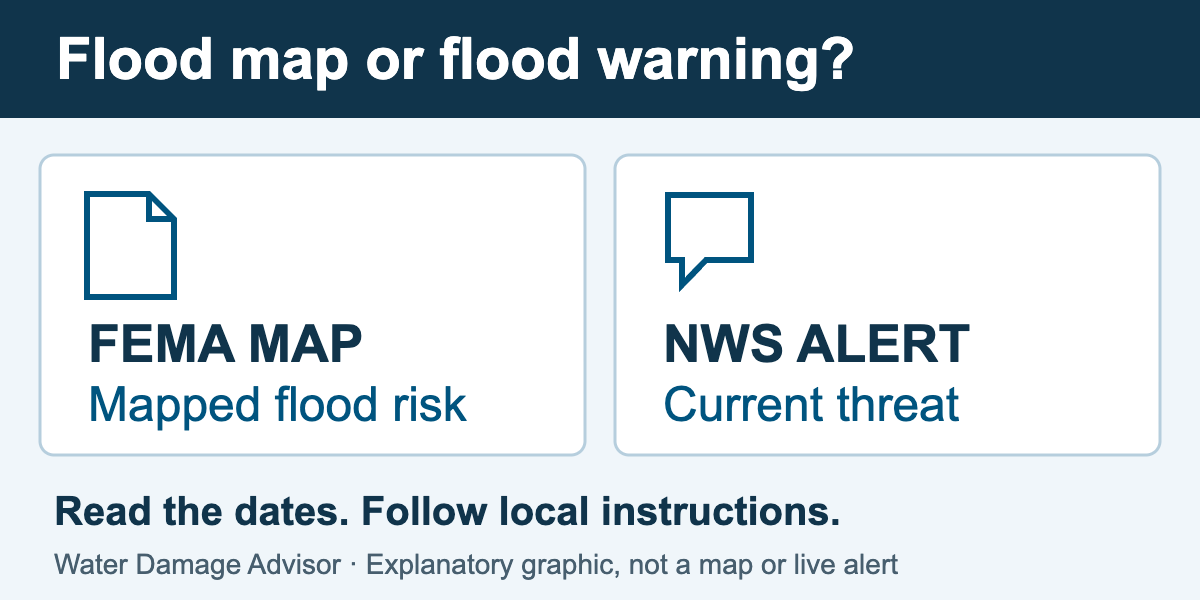 Original comparison graphic, not a flood map, forecast or active alert. The table below explains each source’s purpose. Open the full-size graphic.
Choose the source for the question you are trying to answer
| Information source |
Useful question and checks |
| FEMA map |
Question: What flood hazard information is mapped for this property?
Check: Location, legend, map panel and effective date. Use it for the mapped-risk question, rather than treating it as today’s flood extent. |
| NWS alert |
Question: What threat is occurring or expected, where, and what should I do?
Check: The full message, affected area, issue and expiration times, updates and official instructions. |
| Inundation model |
Question: Where does this model or forecast depict possible inundation?
Check: The specific product, location, analysis or forecast period, legend and stated limitations. Model output is different from a person observing water at a house. |
| Local agencies |
Question: Must I evacuate, which roads are closed, and when can I return?
Check: The responsible agency’s current instructions. A map screen or navigation app does not authorize driving through floodwater or around a closure. |
FEMA identifies its Map Service Center as the official public source for NFIP flood hazard information. The NWS flood-inundation mapping FAQ describes those model products as experimental guidance and directs users to warnings, forecasts and local officials for the threat and response.
How to find the FEMA flood map for your home
- Open the official Map Service Center. Enter the address, place or coordinates. Check that the returned location is the property you mean, rather than relying only on a matching street name.
- Read the map information. Record the mapped location, zone information, panel identifier and effective date shown with the relevant product. Retain the legend with a saved map so its symbols remain interpretable.
- Keep the download date too. The date you saved a file and the map’s effective date describe different things. FEMA says effective information can change or be superseded as maps are updated.
- Resolve an uncertain boundary through official help. Ask your community’s floodplain-management office which current product and property location apply. Have the map link, address and panel information ready rather than relying on a cropped screenshot.
Save the map as a planning record. Bookmark current warning and local emergency sources separately, so the next storm does not send you searching through an old property document for instructions it was never intended to provide.
Can there be a flood warning outside a high-risk flood zone?
Yes. A lower mapped risk does not mean no flood risk. NFIP’s flood-risk guidance explicitly recognizes flooding outside high-risk areas. A current warning and a property flood-zone designation therefore need to be read as separate information.
Hypothetical example, not a report of current conditions: a homeowner has a saved map showing the property outside a high-risk area and then receives a flood warning covering their location. The immediate task is to read the current message and follow protective instructions. Waiting for the saved map’s zone label to change would not help answer the warning.
Questions about the property’s mapped designation or insurance paperwork can be addressed through the relevant agency or insurer separately. Keep those documents with your water damage insurance records, and keep immediate-action sources readily accessible.
Read the message behind the warning map
On Weather.gov, open the forecast and alerts for your location and read the full relevant messages. Check the area described, issue time, event period, expiration and any newer update. An alert for part of a state is not a declaration that the whole state is flooding.
Map colors alone can hide important detail. NWS explains that its national hazards map displays only the highest-priority event for a forecast zone at a time, although several alerts may be in effect. Open the location’s forecast page to read the complete set.
A warning can include expected flooding. It is not automatically an observation that water has entered a particular building. Our flood watch vs. flood warning guide explains the message categories. For river conditions, use the river gauge guide to distinguish an observation from a forecast and a river stage from water depth at home.
What if an inundation map shows my street?
Identify whether you are viewing an analysis or a forecast and which period it represents. In its public FAQ, NWS says its experimental flood-inundation maps have uncertainty about the presence and location of water. A depicted flooded street calls for heightened attention and checking official warnings and local guidance. It does not establish that water was observed on that street.
A blank area is also insufficient to clear a route. The product’s coverage, thresholds, model and forecast period matter. Do not use an inundation layer to override a road closure, a local evacuation instruction or visible water across a road.
If the purpose or timing is unclear, contact the local NWS forecast office using Weather.gov. Have the product name, displayed time, location and link ready. That is more useful than asking an official to interpret an unlabeled image.
Keep a useful household flood-information record
- Property planning: official flood-map link, panel or product reference, effective date and date saved.
- Immediate warnings: current Weather.gov location link, phone emergency-alert settings and another warning channel.
- Local action: emergency-management and road-closure sources, plus a household contact and evacuation plan.
- Changes you actually observe: time and location of water or damage, recorded only from safe access. Keep these separate from forecast screenshots.
The incident log can organize observed changes and official communications. Do not enter a dangerous area to complete it. If water reaches the building, use the flood damage cleanup guide after access is permitted. For the broader response, return to the storm and flood damage hub.
Sources and source check
Prepared by Water Damage Advisor. Official sources checked November 16, 2026. This is an explanatory guide, not a live alert feed, a property-specific map determination or a record of storm damage.